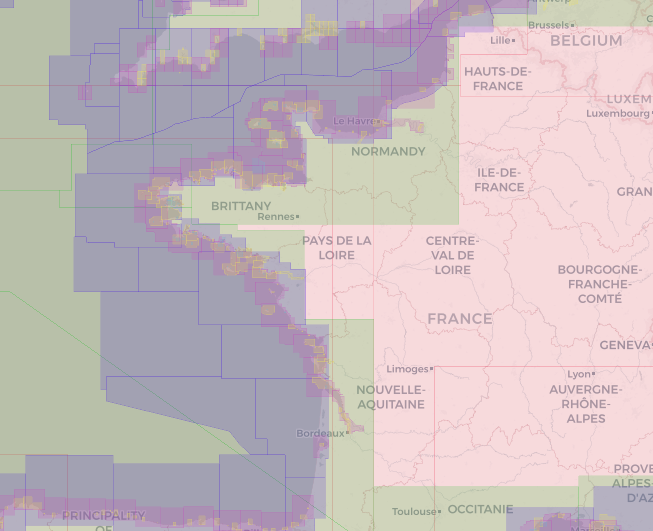
Our marine geomatics tools: cartographic software and standardised hydrographic products
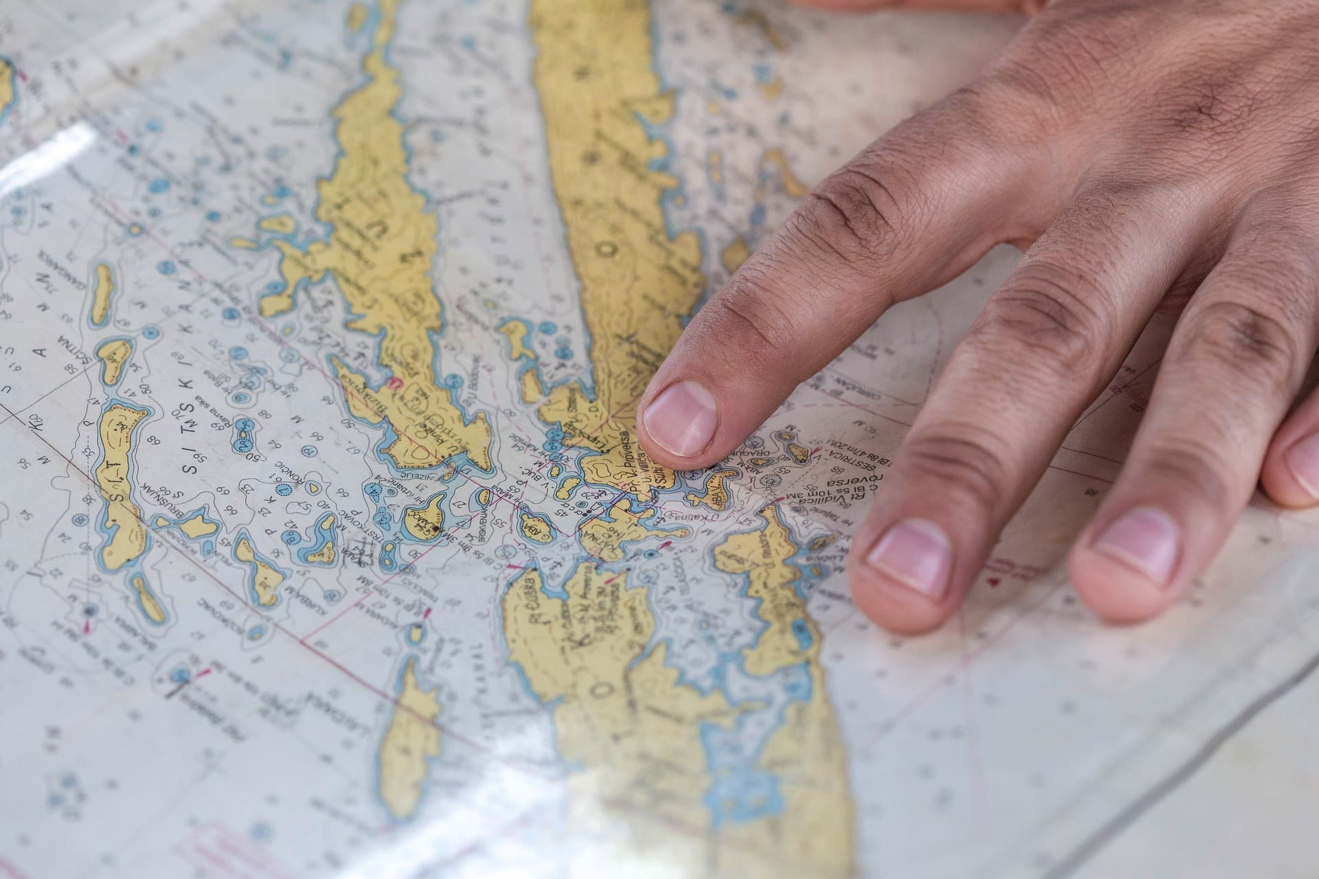
Geomod's team in Brest applies its expertise in marine geomatics by offering software solutions for using or producing standardised hydrographic and oceanographic products such as Electronic Navigational Charts (ENC) or military layers (AML).
In order to maintain its expertise, Geomod actively participates in the IHO (International Hydrographic Organisation) working groups responsible for developing standards for the exchange of maritime products as well as standards for the use of these products. The main objective of these standards is to contribute to the safety of navigation.
Backed by many years' experience, particularly in providing bespoke services to clients with a strong reputation in their field, our marine geomatics offering covers the development of software for producing, displaying and using nautical charts and navigation applications, as well as consultancy, expertise and training.


Clients who trust us
Subscribe to our newsletter in french
To receive regular updates and news about our marine geomatics activities